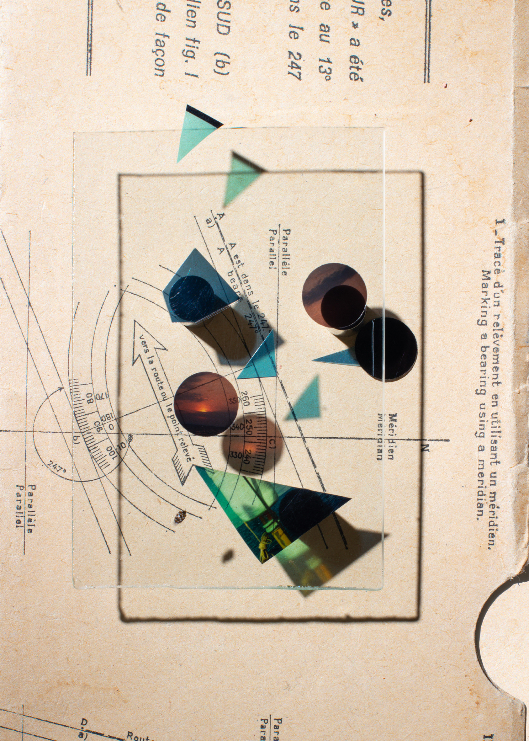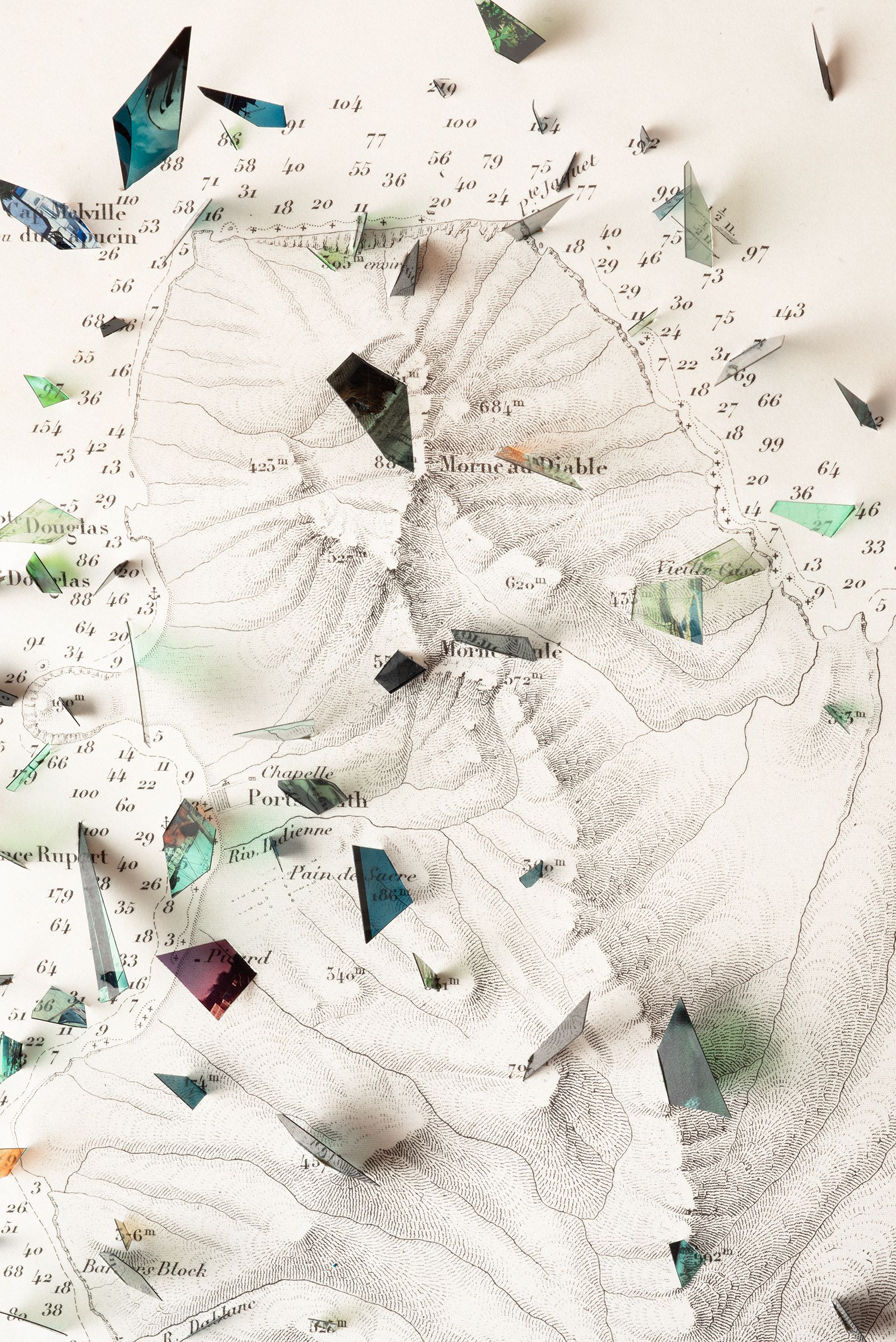
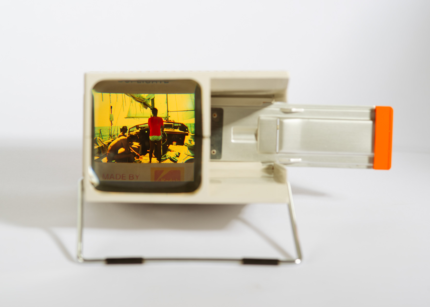
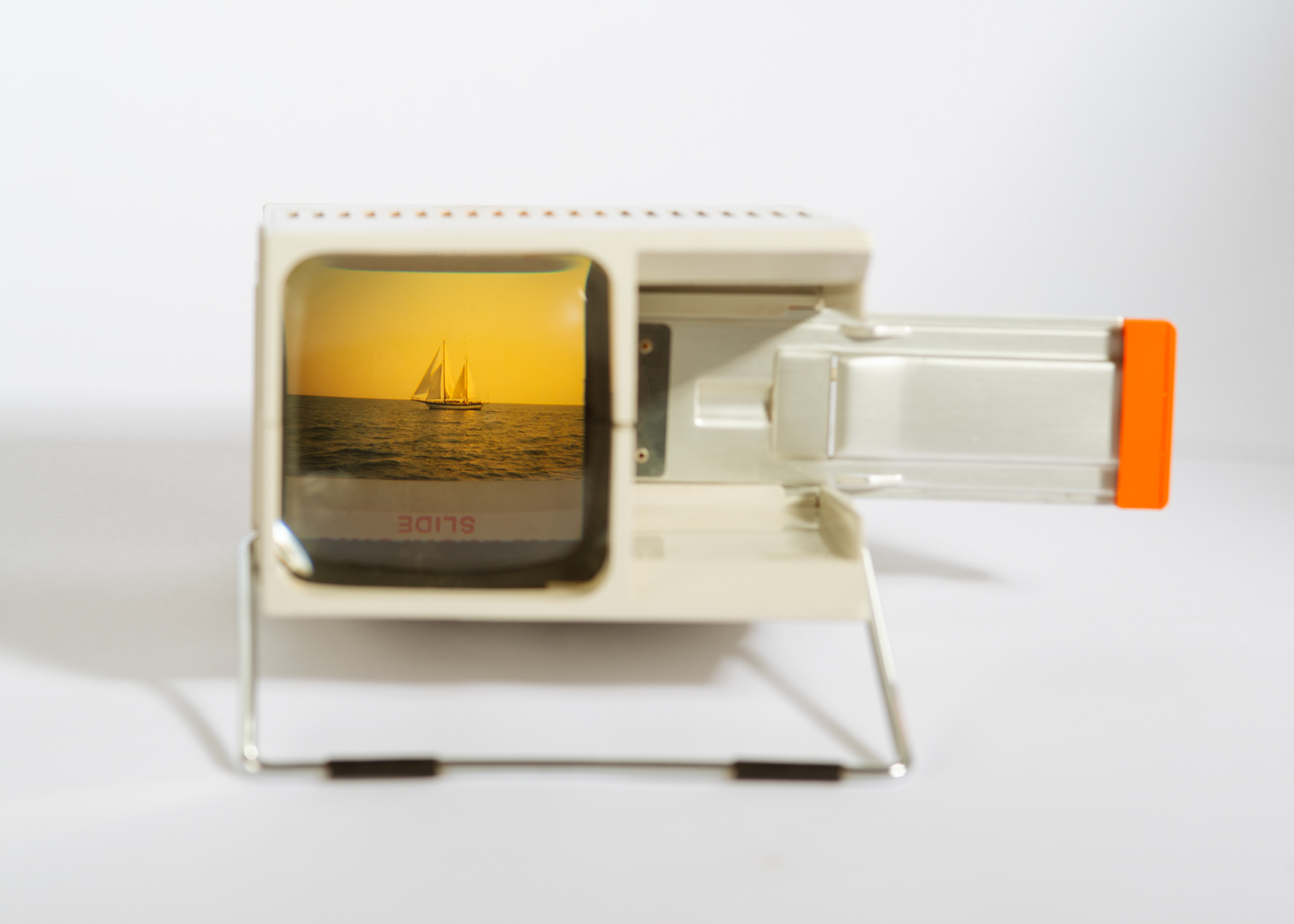
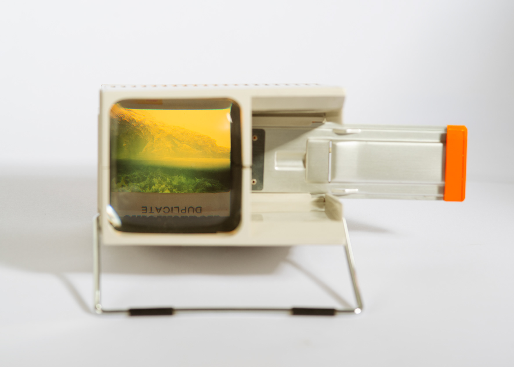
A maritime map bears the accumulated weight of countless measurements. Each number inscribed across its surface marks where lead weights descended through water, where empire attempted to render indigenous seas legible and navigable. The work intervenes in this archive of imperial certainty through triangular photographic fragments salvaged from discarded tourist slides: leisurely sailing colonial waters a century later, innocently capturing their newfound discoveries.
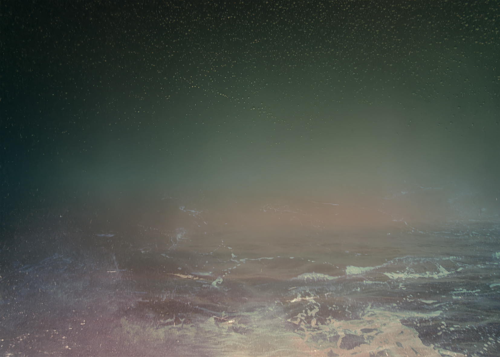
The pairing reveals uncomfortable continuities. Both cartography and photography emerged as technologies of colonial expansion, instruments designed to take, fix, and document. The sounding line and the camera shutter perform parallel acts of extraction and possession. Holiday snapshots carry this inheritance whether their makers recognize it or not. Video footage from NOAA ocean exploration archives extends the interrogation further, suggesting that even scientific documentation perpetuates colonial gestures of knowing, insisting on transparency where water maintains its right to opacity.
Yet the work refuses colonial legibility through its own formal logic. The photographic fragments become illegible, their chaotic arrangement rendering the map itself unreadable—enacting what Glissant describes as an alternation that “resists interpretation through colonial frameworks of comprehension.” Maps, historically instruments of colonial possession, are here fragmented into opacity. Water erodes what seeks to claim it. The photographic fragments remain suspended between complicity and refusal, suggesting no restoration to wholeness but perhaps new configurations emerging from fracture itself.